

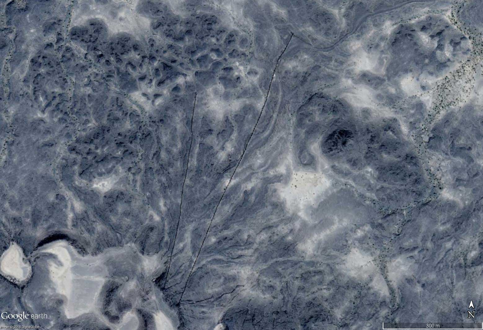
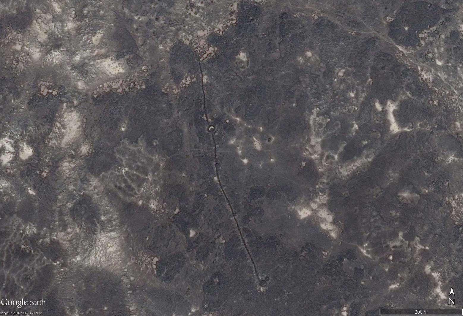
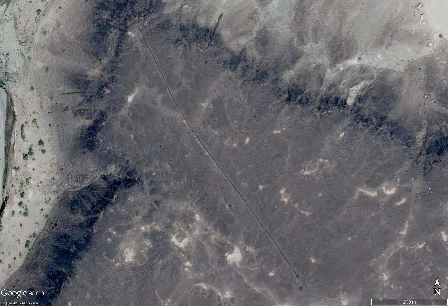
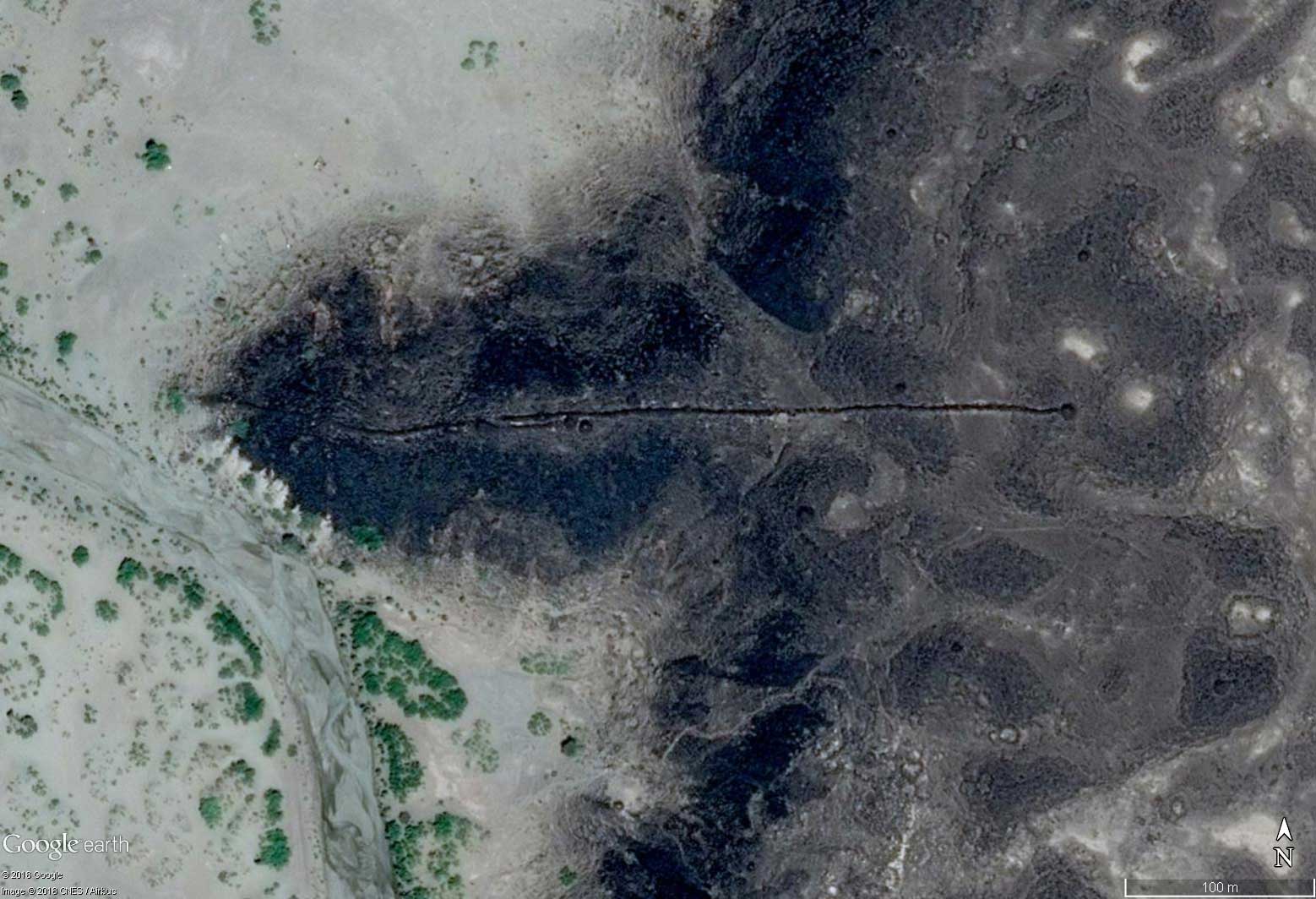
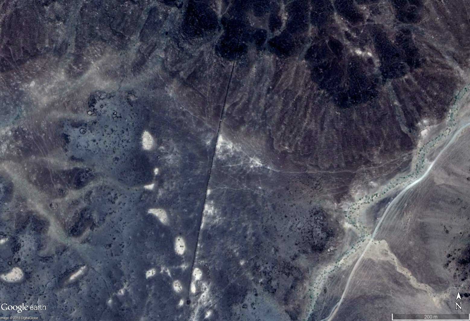
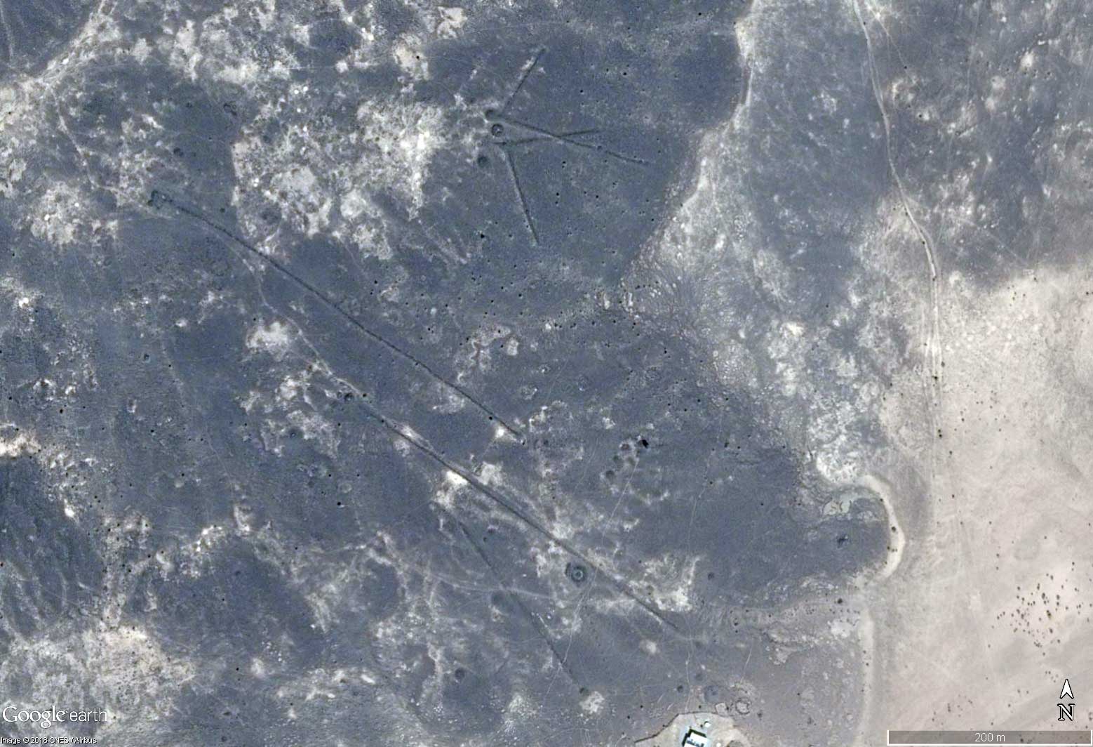
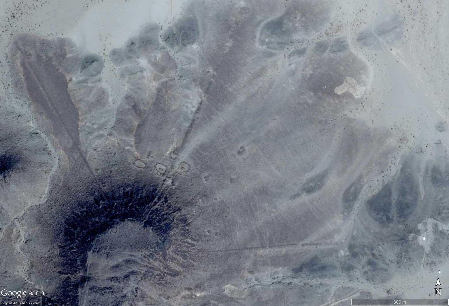
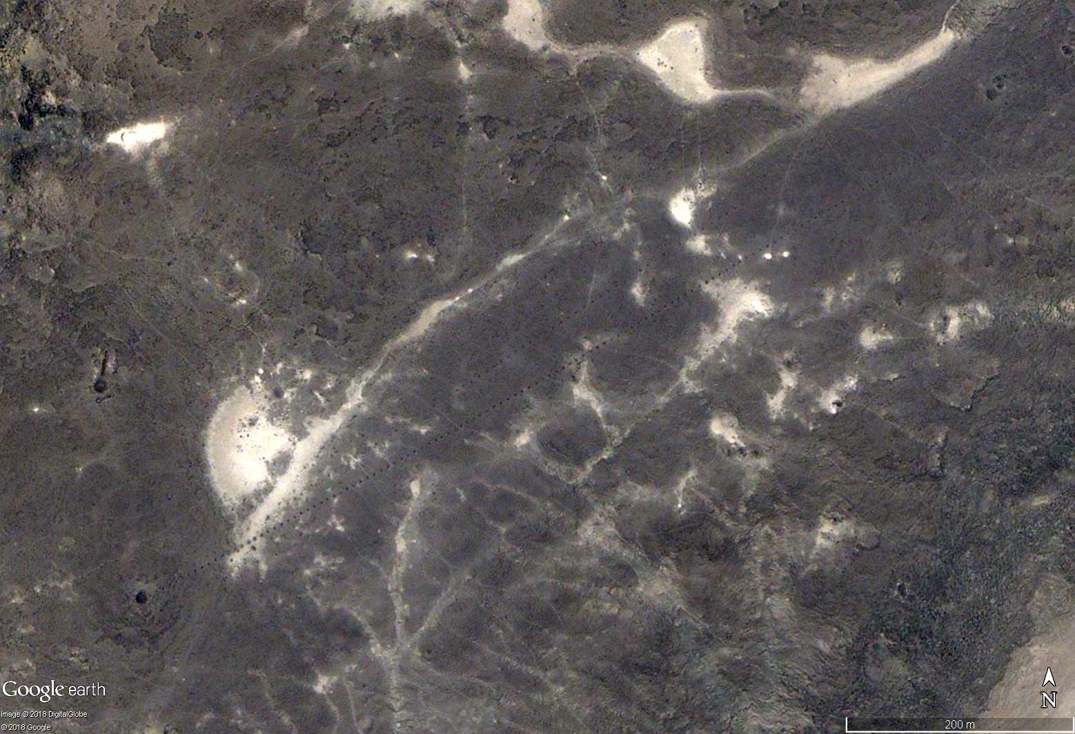
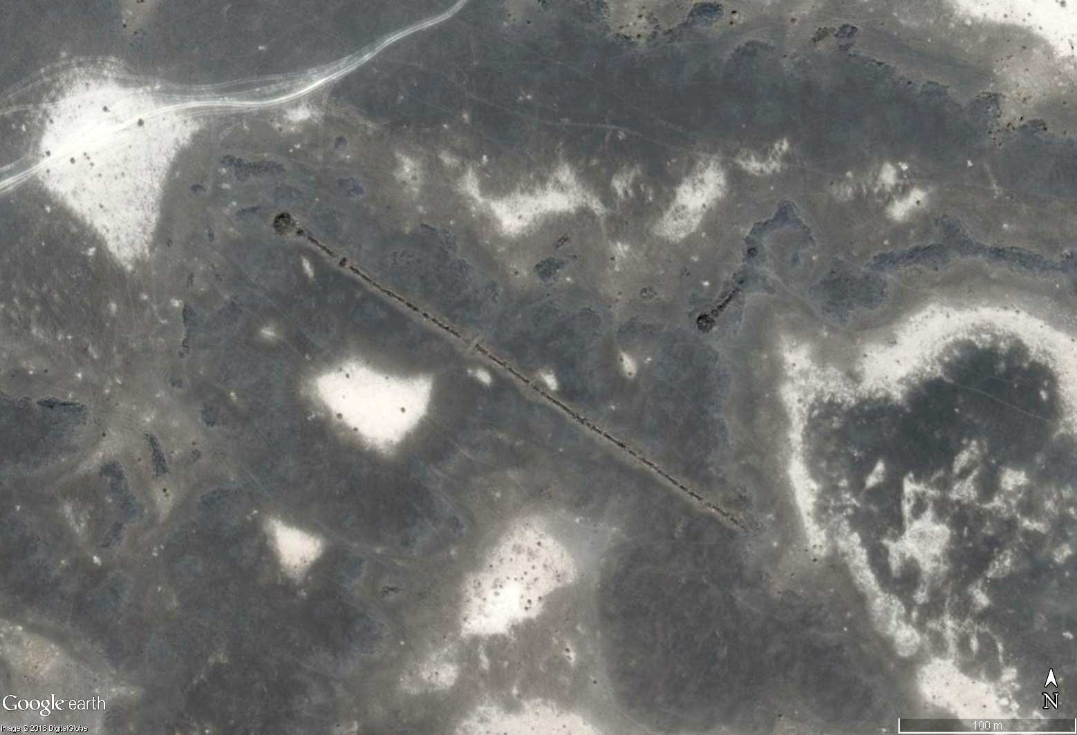
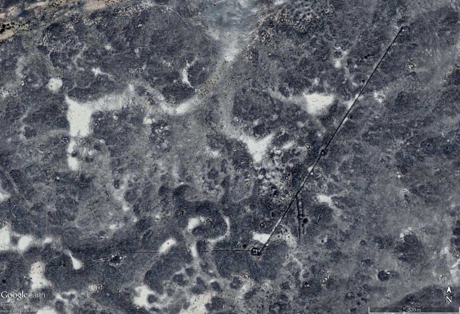
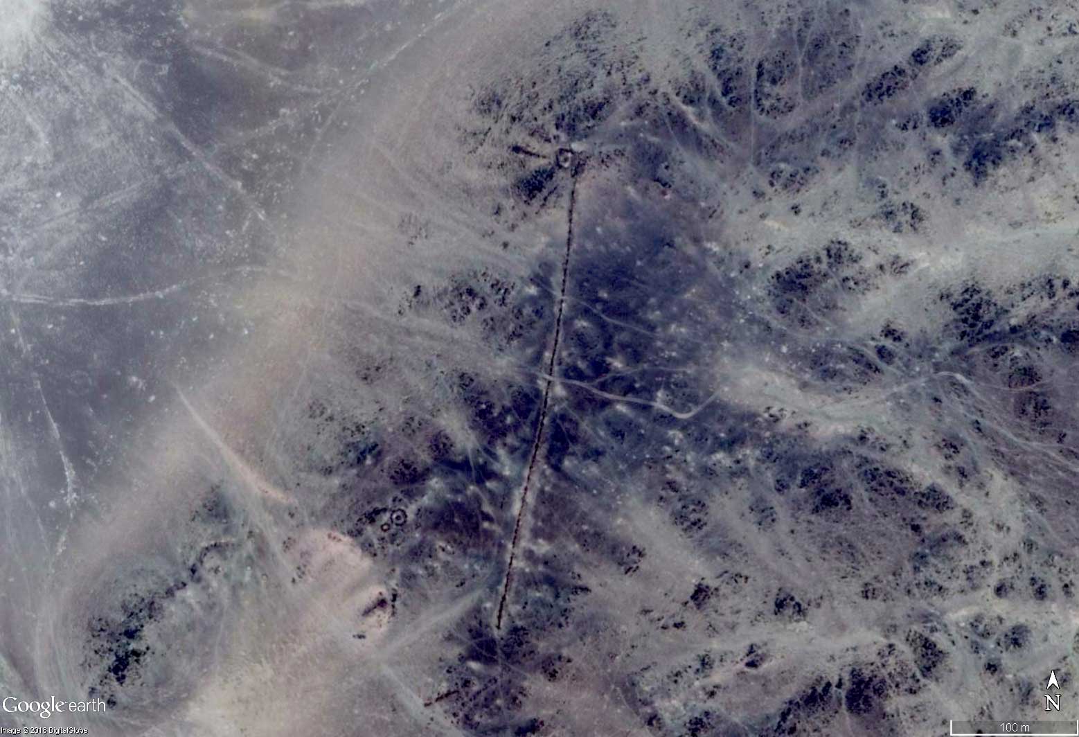
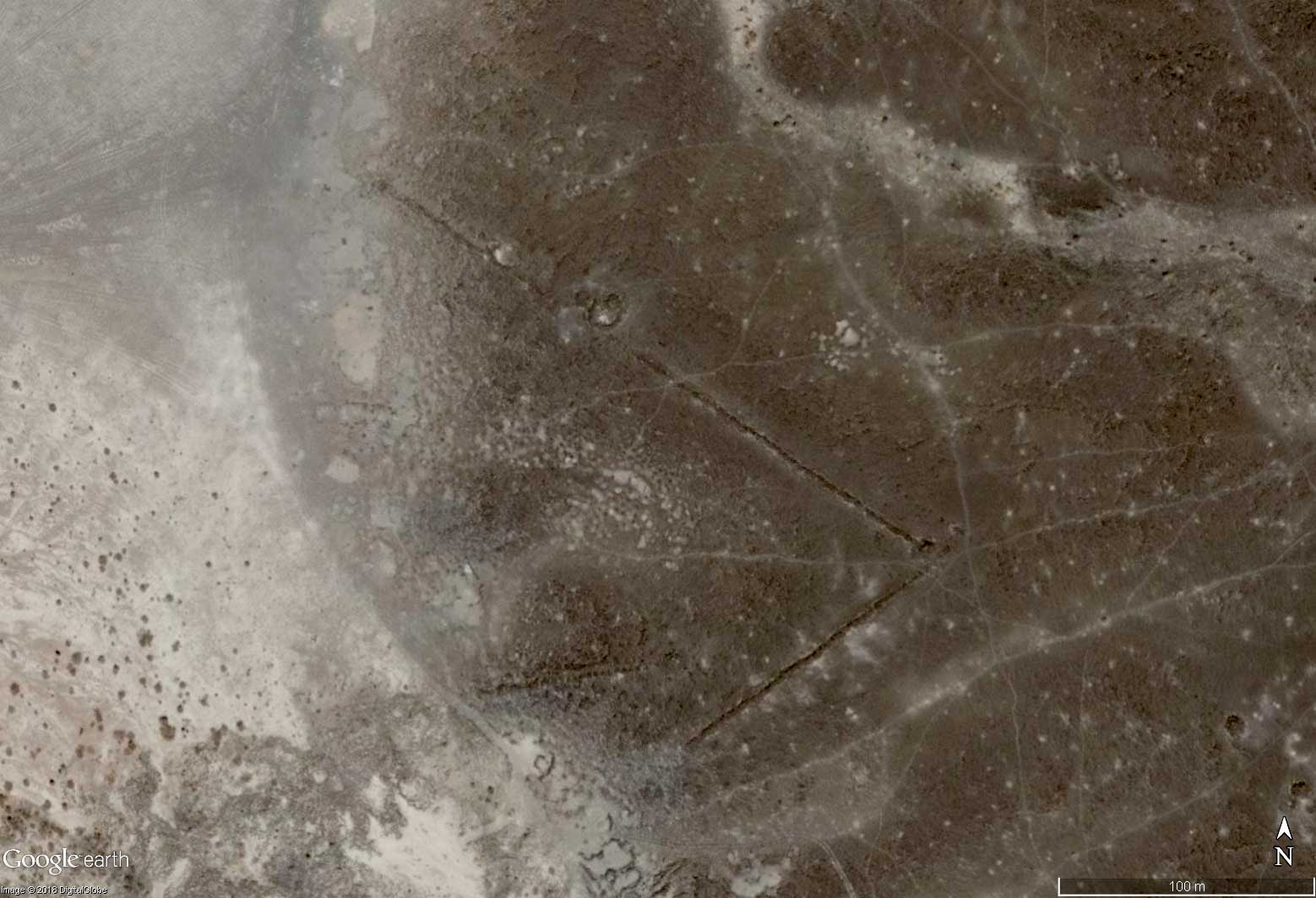
ARAB NAZCA LINES?
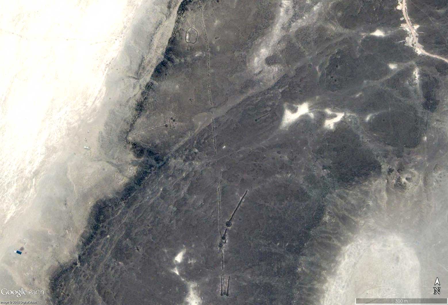
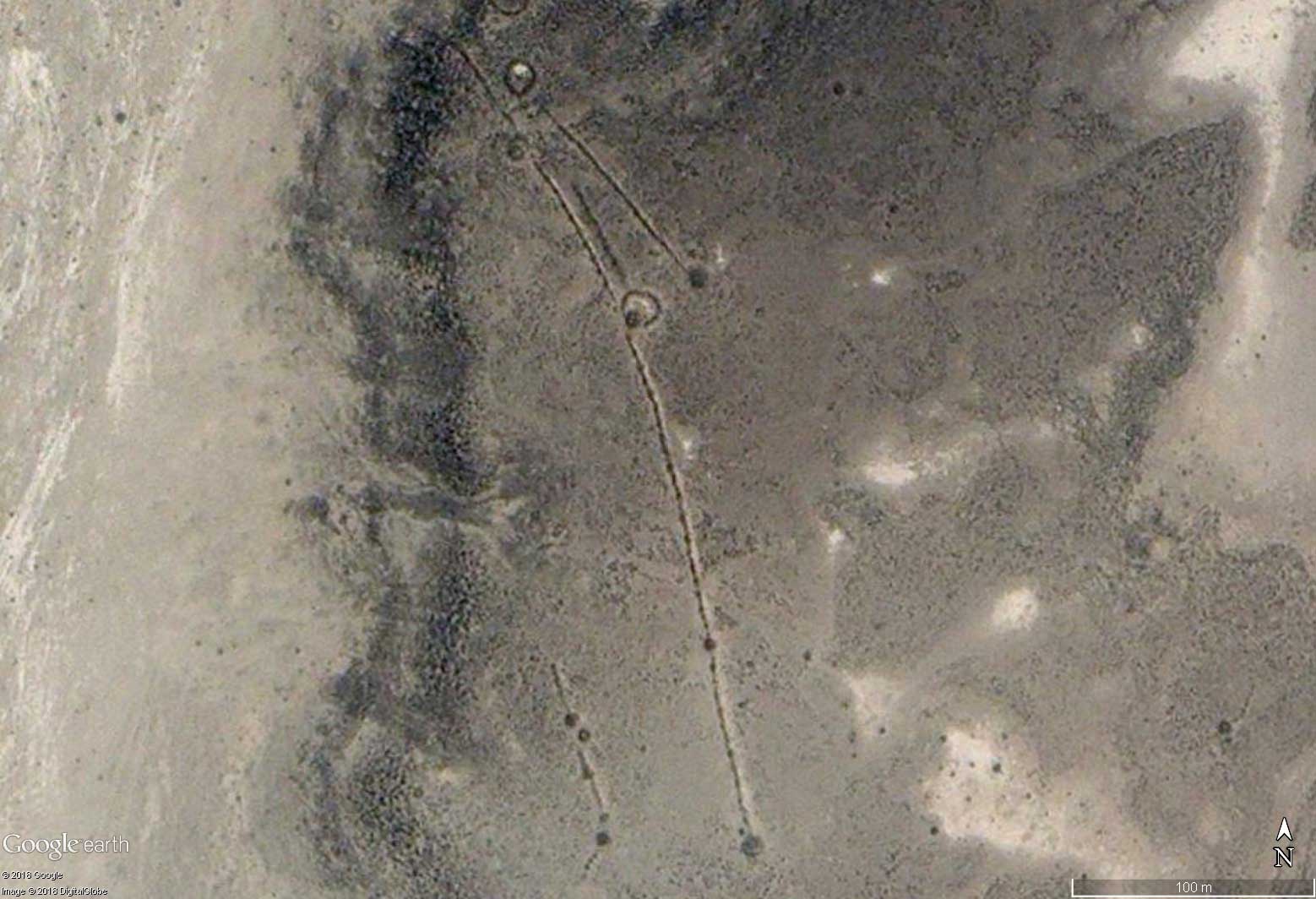
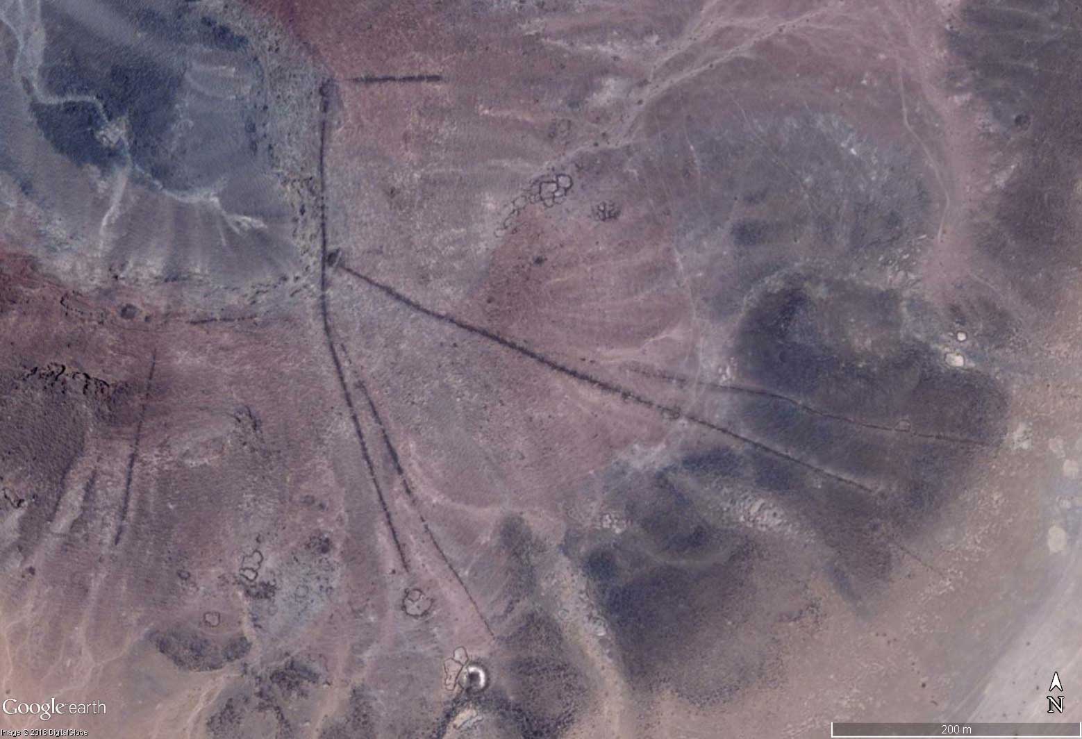
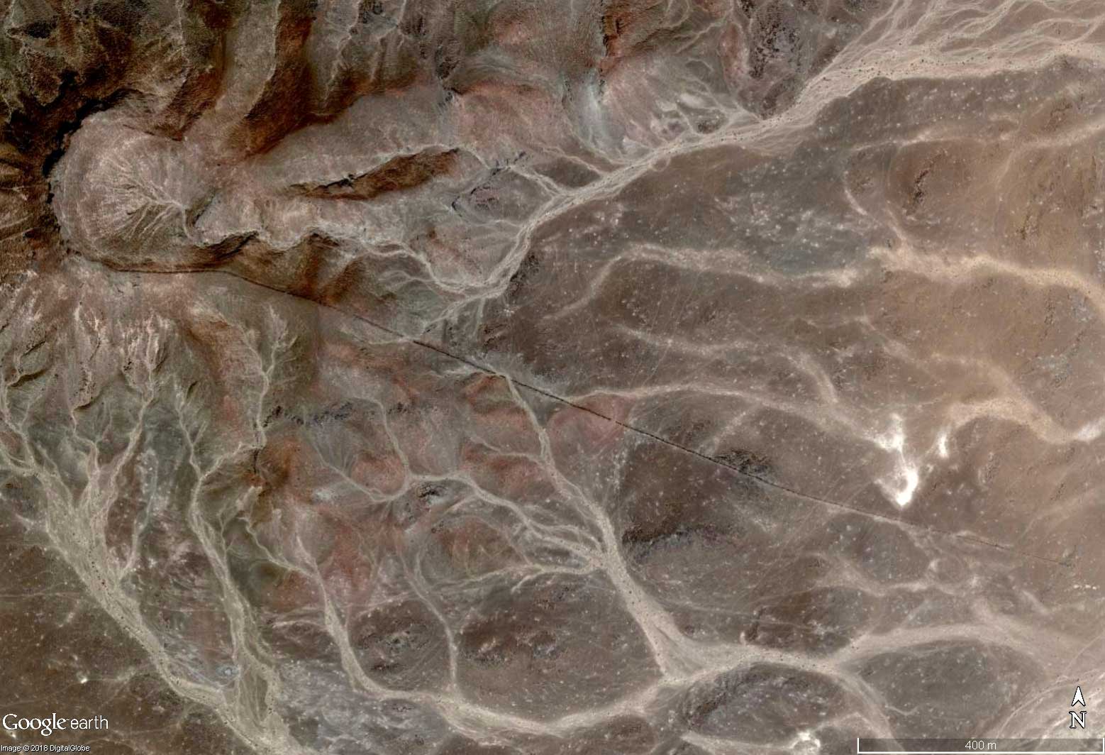
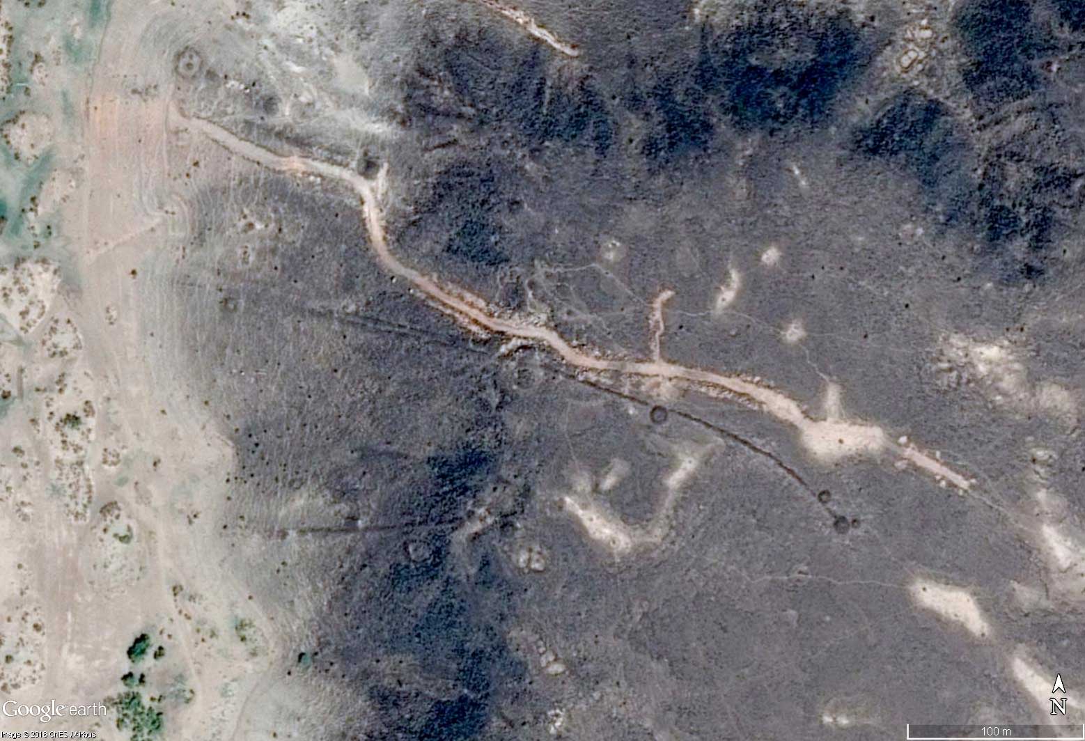
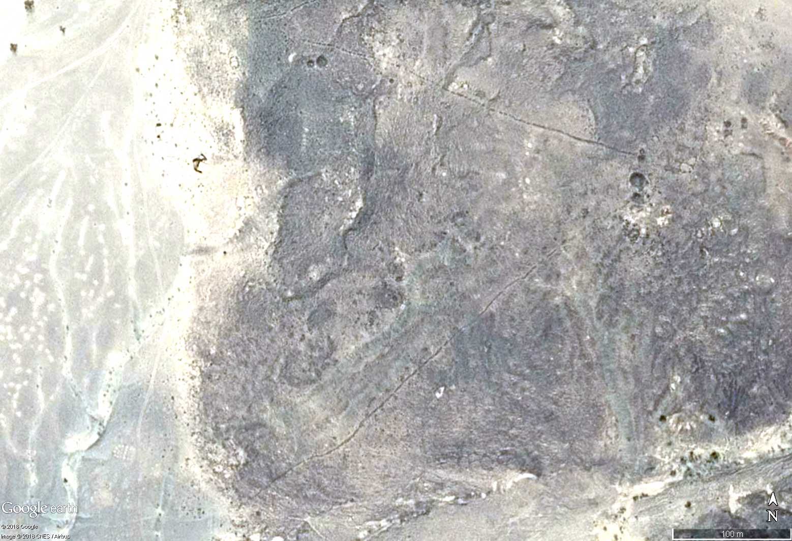
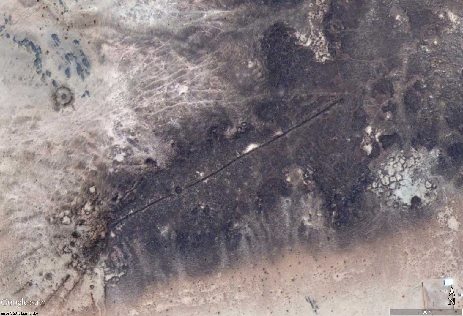
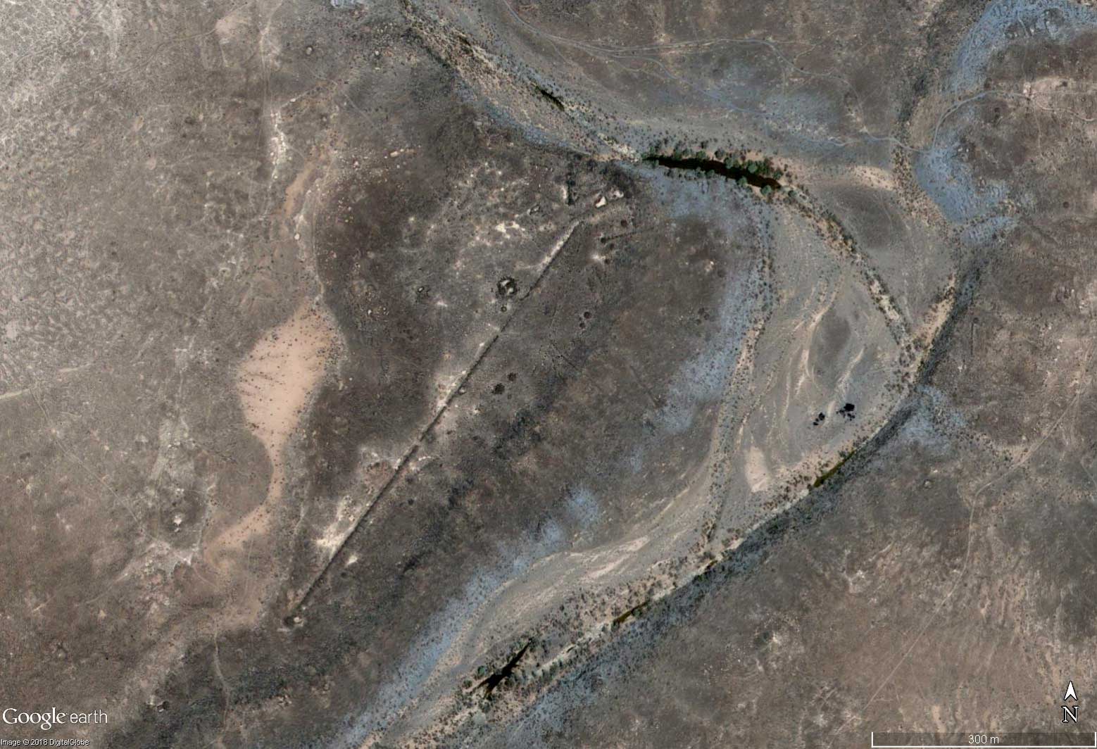
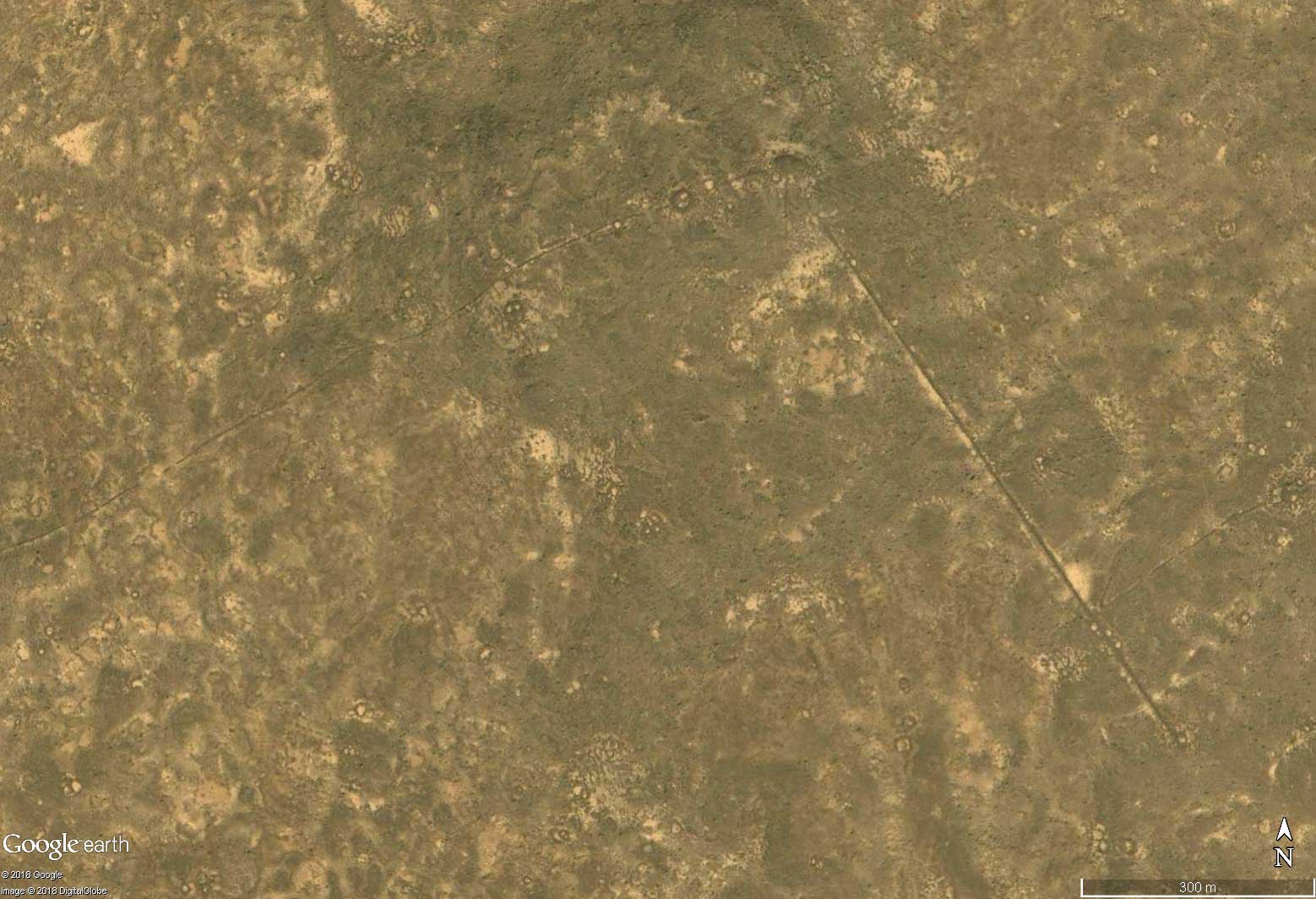
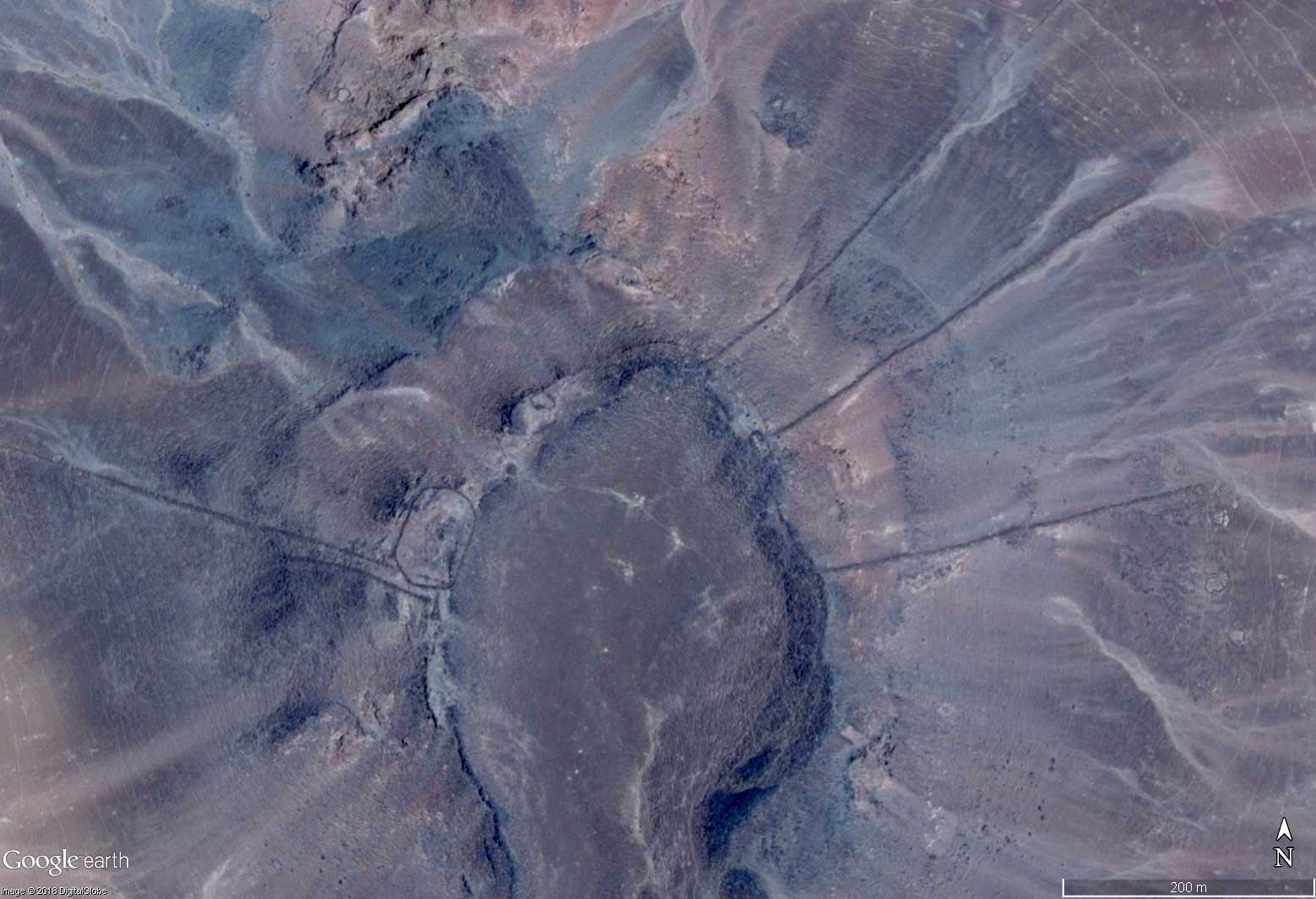
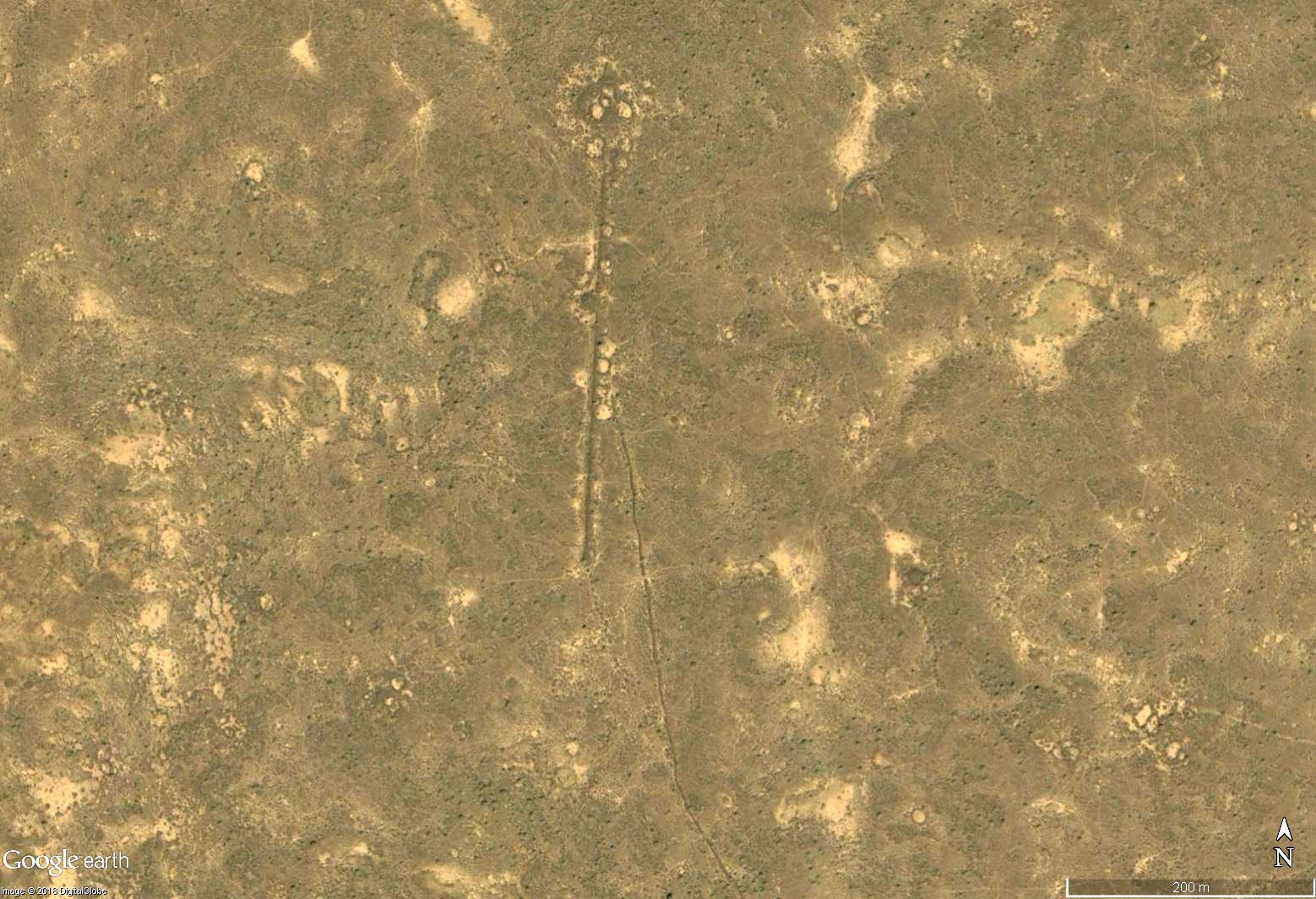
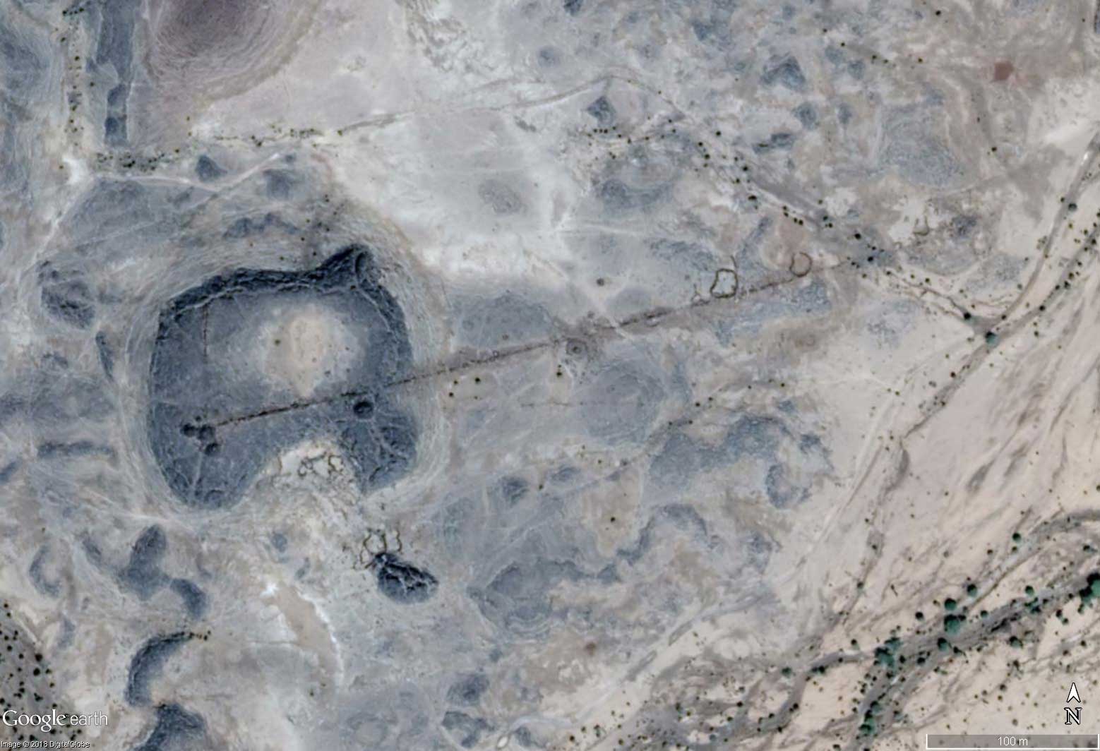
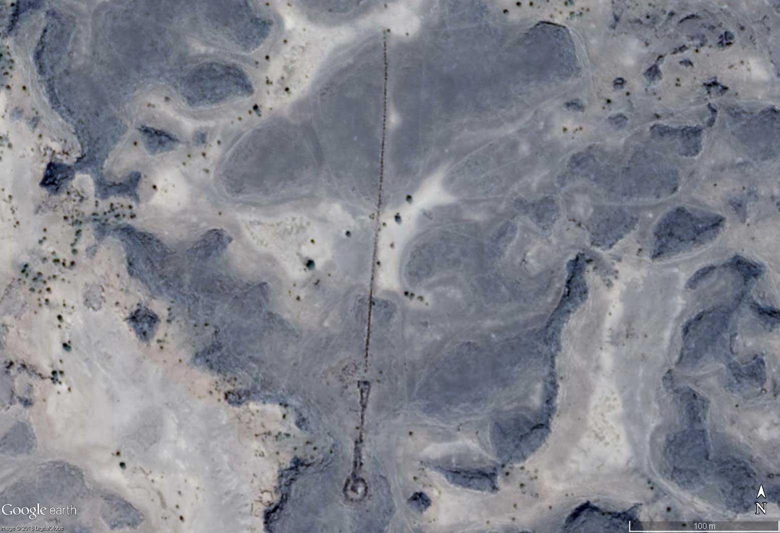
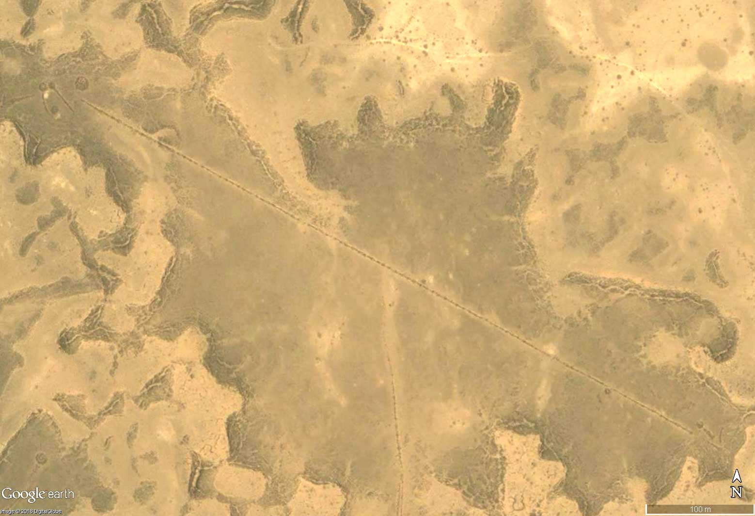
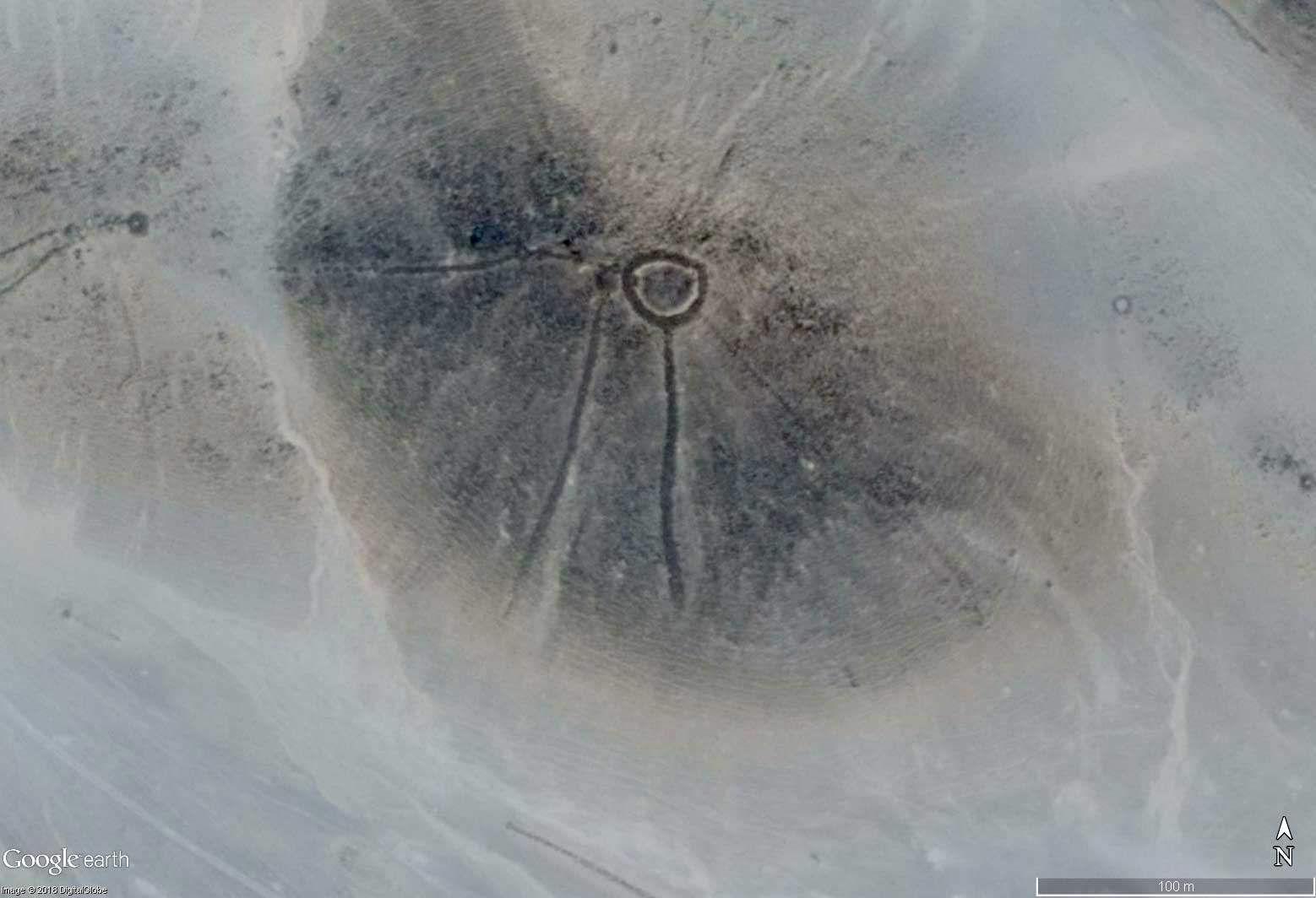
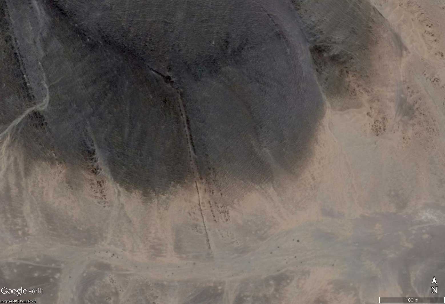
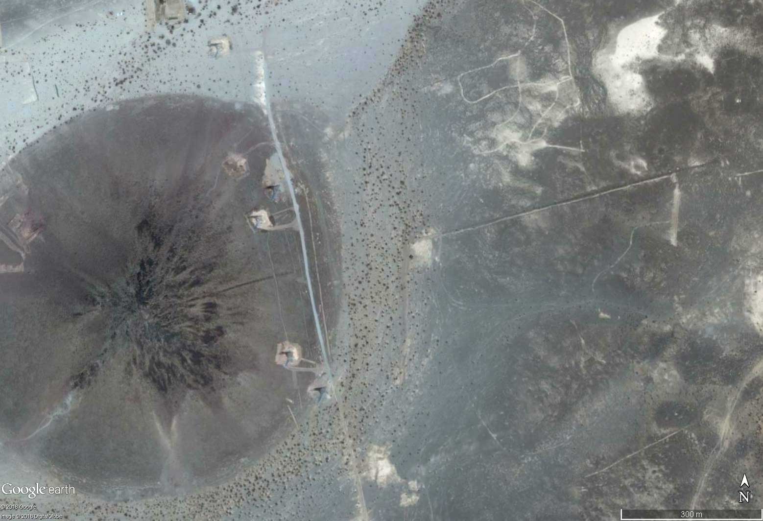
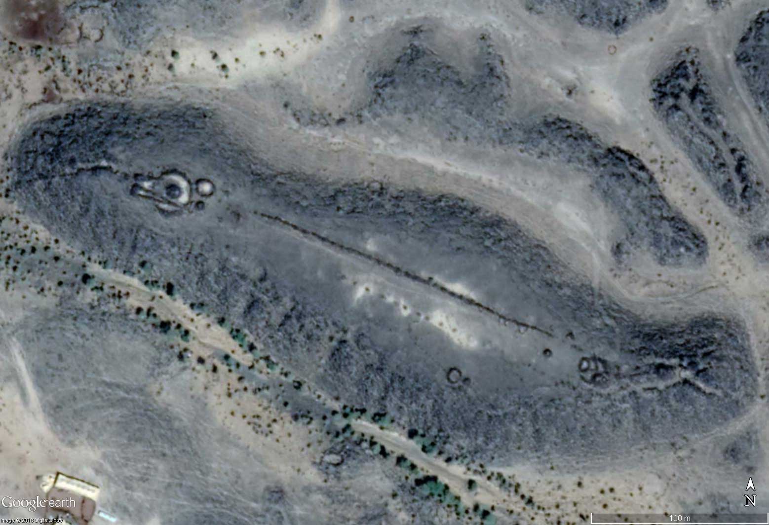
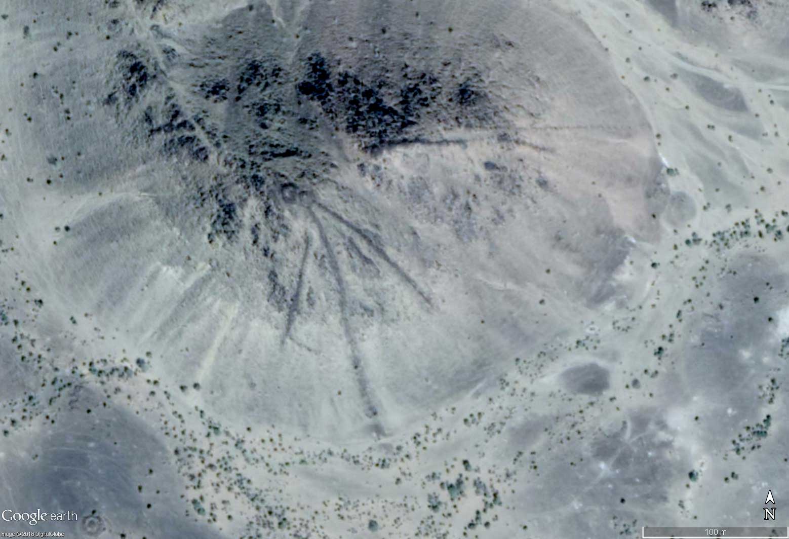
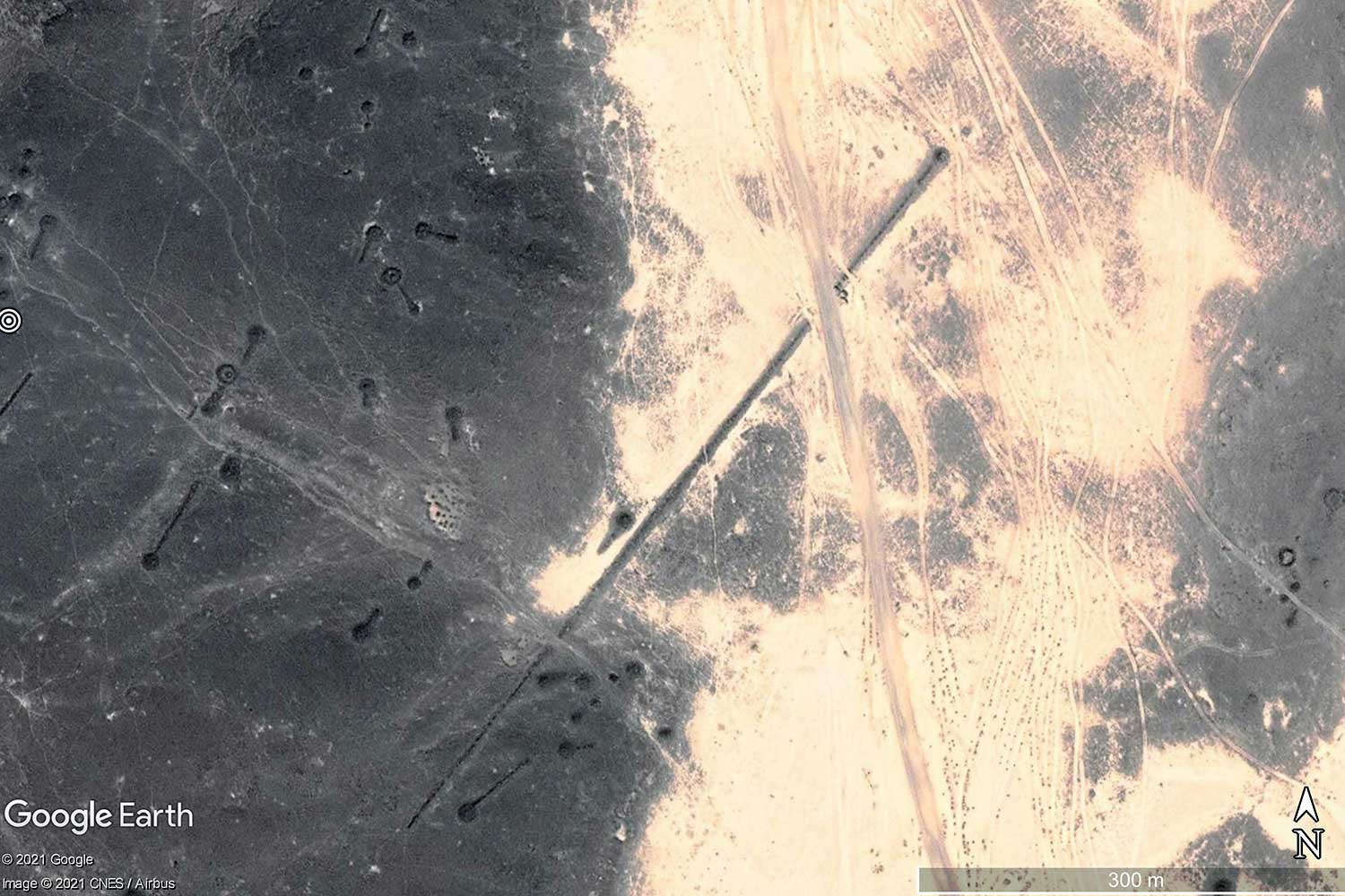
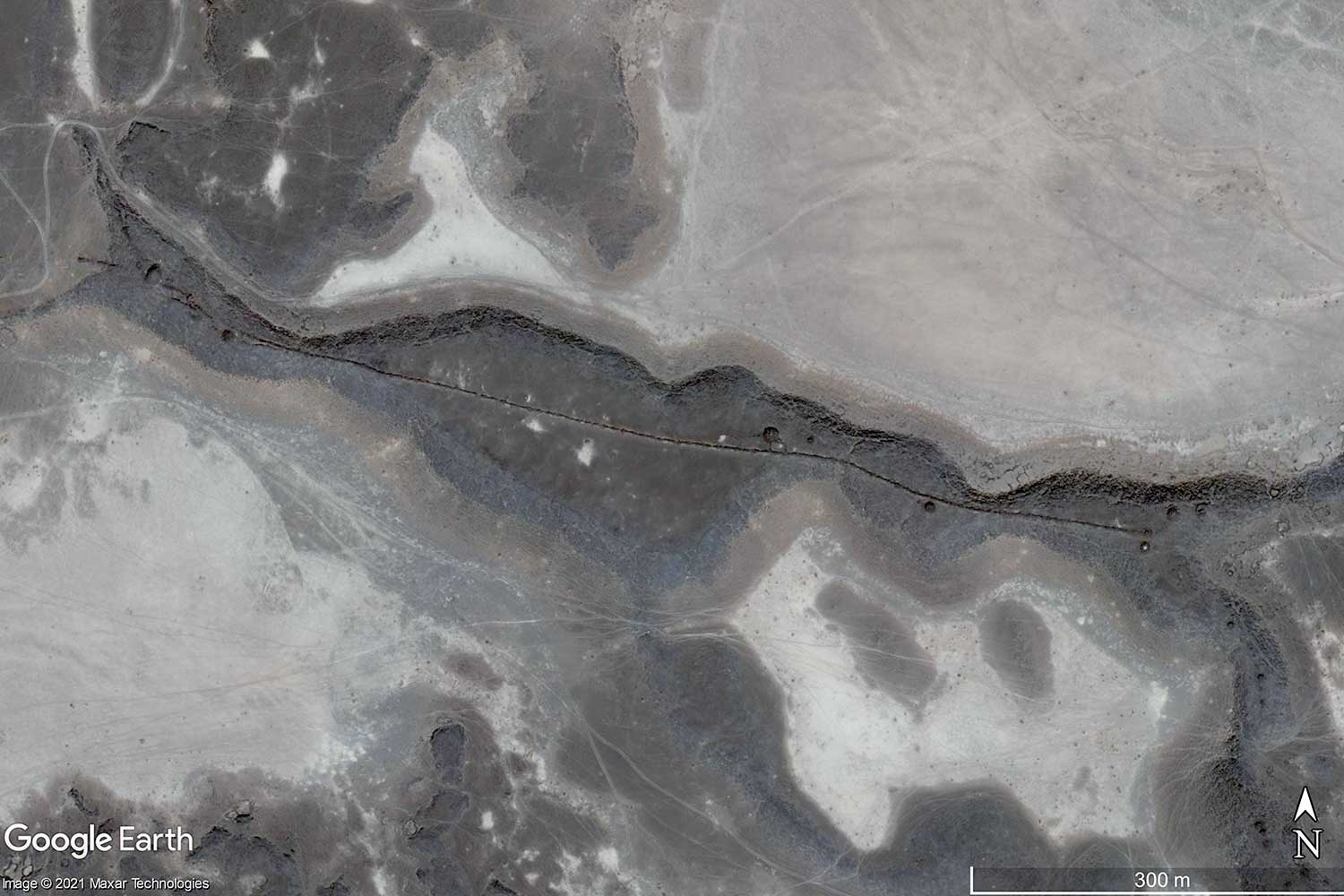
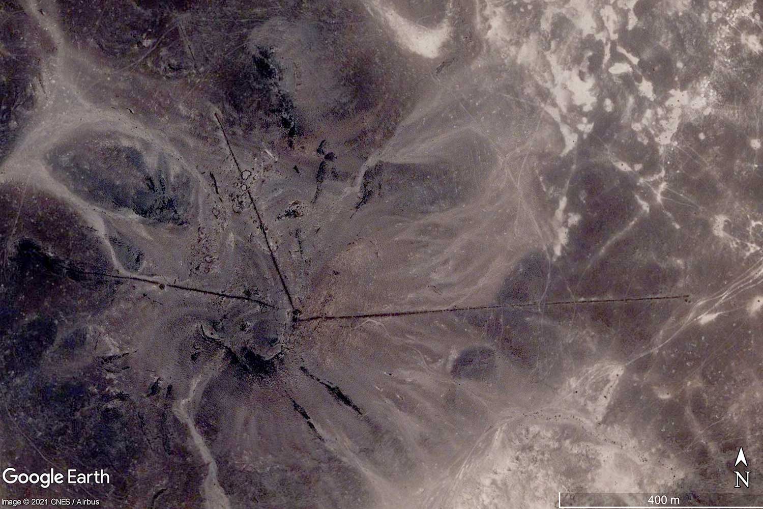
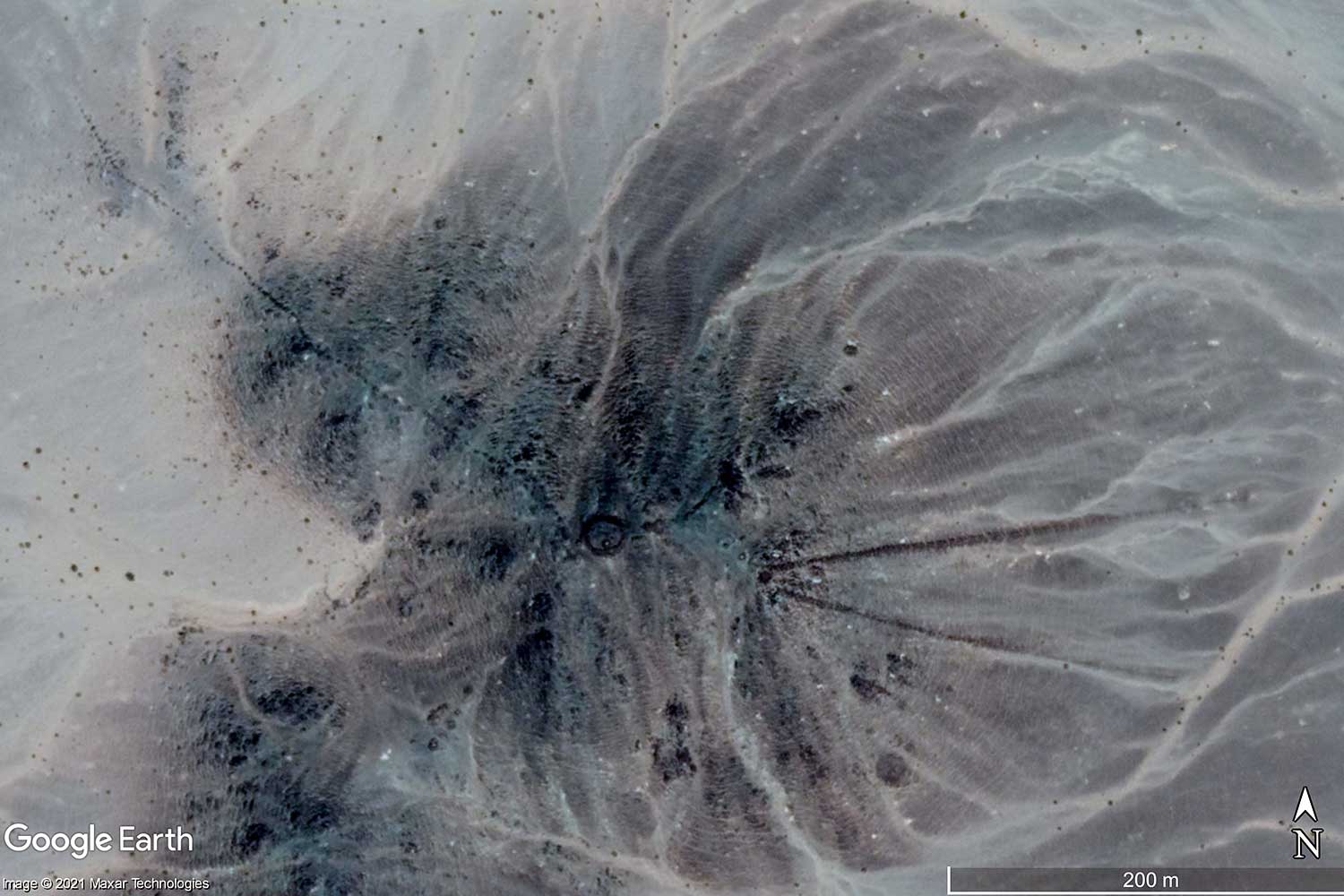
The lines in Arabia are not (yet) as well known as the Nazca Lines, but no less mysterious. As with their famous cousins in Peru, it is entirely unclear what they were once used for. Was it just pasture fences that have survived for thousands of years, or did they have a deeper meaning? In addition to many lines that follow the requirements of the landscape, some are drawn so precisely that a symbolic meaning is perhaps more obvious than a practical use in everyday life.Geographical coordinates below the pictures.
| 
| 
| 
|
| 
| 
| 
|

| 
| 
| 
|
| 
| 
| 
|
| 
| 
| 
|

| 
| 
| 
|

| 
| 
| 
|
| 
| 
| 
|
| 
| 
| 
|

| 
| 
| 
|

| 
| 
| 
|

| 
| 
| 
|

| 
| 
| 
|
| 
| 
| 
|
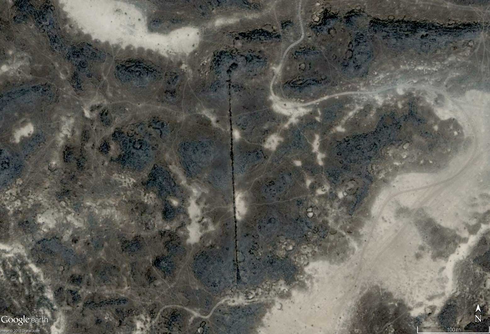
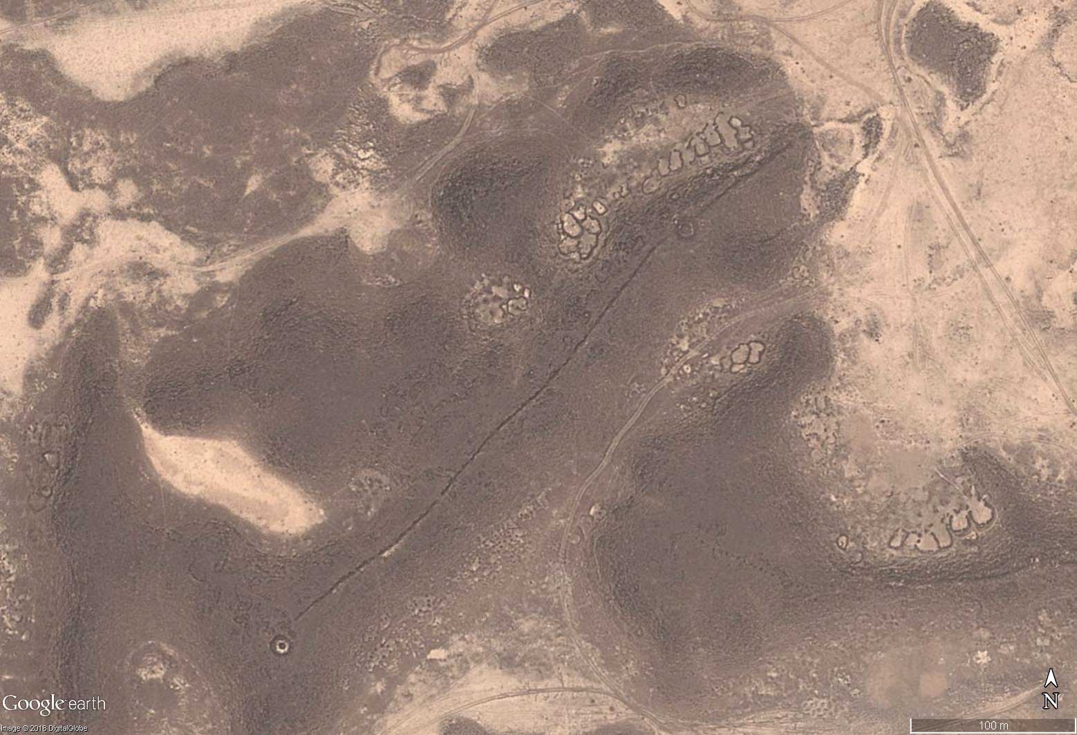
Some of these lines look more like energy paths to me. For example, when they run between two cairns and together they form a pattern. With the lines that run straight down from a mountain peak, it seems as if the energy of the peak should be directed down to the people. Or were they landing markers for UFO pilots?
These pictures are only a small selection. All the objects I found are included in the following download (Google Earth required): Download Google Earth placemarks >
YEMEN >